272 St James Road, Bermondsey
London
Greater London
SE1 5JX
United Kingdom

Map
Sorry, no records were found. Please adjust your search criteria and try again.
Sorry, unable to load the Maps API.
Description
The development site lay on what would have been the edge of the prehistoric ‘Bermondsey Lake’ and is now located within an Archaeological Priority Area (Bermondsey Lake) as defined by Southwark Council’s Proposals Map (2007). The lake formed following the end of the last Ice Age, attracting people from the Mesolithic period (between 8500BC and 4000BC) onwards, offering rich wetlands resources for hunting, fishing and gathering.
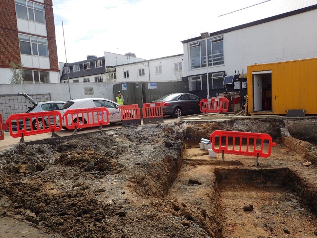
The project involved the development of student accommodation on the site of a former garage. PCA London was engaged early in the development process, to fulfil planning conditions imposed as the site lay in an archaeological priority area.
The archaeological investigation involved two planned phases: initially a watching brief exercise and the second was an evaluation of the site’s potential for archaeology comprising two trenches and two test pits. An excavation followed to mitigate the destruction of archaeological deposits identified in one of the trenches.
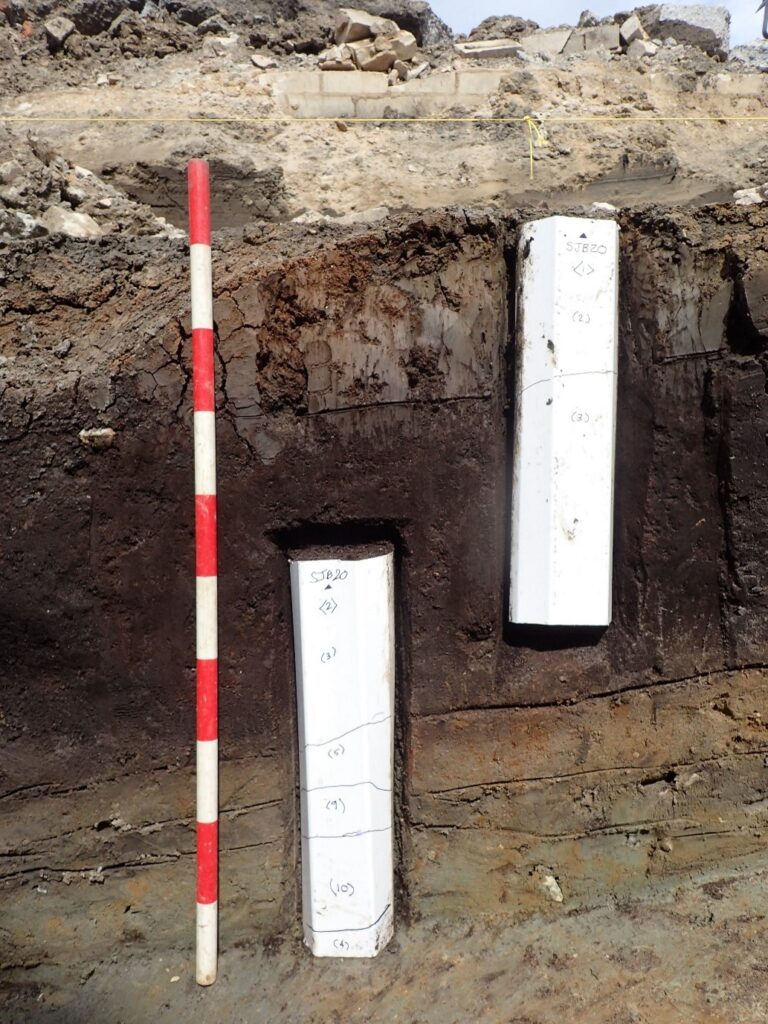
The excavations revealed that c. 10,000 years ago, a temporary encampment was made on the site, with remains of stone tools and burnt flint, found in later deposits. The surrounding dryland at this time was similar to tundra, but was followed by a period of warming temperatures and rising water levels, resulting in the deposition of silty clays over the gravels and sands, and in turn was followed by regressions and episodic flooding associated with peat growth from the Late Neolithic period (around 5,000 years ago) to the Late Bronze Age / Iron Age (around 3,000 years ago). This fen- like environment was associated with periods of woodland clearance on the surrounding dryland and encroachment of agriculture by farming communities on the land fringing the former lake.
Excavations revealed the peat was capped by a layer of blue-grey alluvial clay suggestive of flooding.
Above the alluvial layer was a layer of clayey sand, which probably formed over a long period of time from windblown material like loess. Cut through this were various features including a ditch and pits. Fragments of animal bone from the features suggest that domesticated animals were being kept on the nearby dry ground.
This was overlain by an undated ‘ploughsoil’ that could have formed at any time from the late Iron Age to the medieval period. One sherd of Roman pottery was recovered from this layer, suggestive of Roman activity in the area.
The results of the archaeological excavations tell a fascinating story of landscape evolution driven by changes in climate, and the way in which humans lived alongside and exploited changing resources over the long span of prehistory.
As well as a technical report the results of the excavations were published in the popular magazine, London Archaeologist, Vol 17 (1) 2023