Bramshill Quarry
Eversley
Hampshire
RG27 0QB
United Kingdom
Map
Sorry, no records were found. Please adjust your search criteria and try again.
Sorry, unable to load the Maps API.
Description
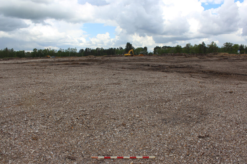
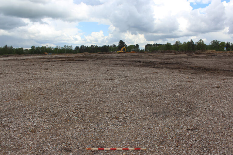
PCA Winchester was appointed to undertake a program of archaeological work at Bramshill Quarry which was required by the Mineral Planning Authority (MPA) of Hampshire County Council to offset the impact of sand and gravel extraction on potential archaeological remains.
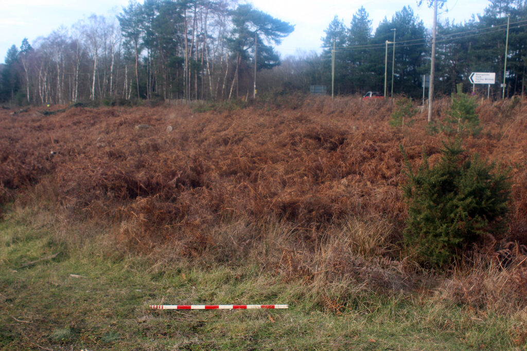
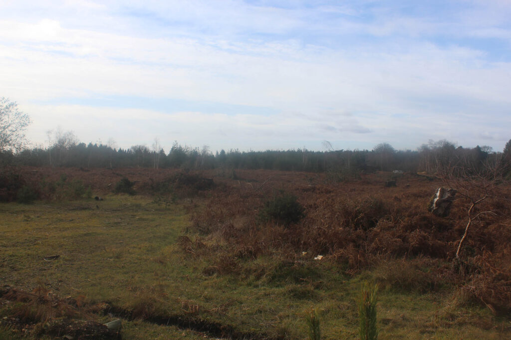
An initial walkover survey was conducted in two extraction areas to assess the location of several earthworks that were recorded during an earthworks survey in the 1990’s. The walkover survey was specifically focused on two possible linear features and two mounds and demonstrated that the site was largely overgrown with shrubs and the ground had been heavily disturbed in places due to recent tree felling by the landowner.
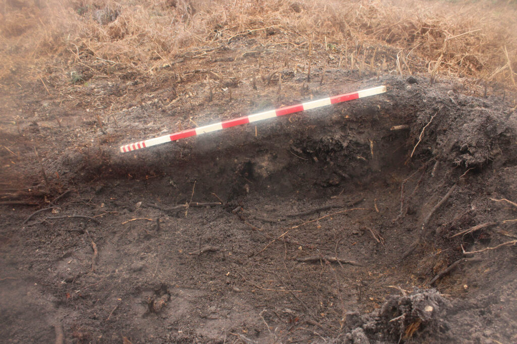
Of the four possible earthworks, only one was visible, a linear bank inside the northern boundary of the site orientated east–west, of which approximately one third was observed and recorded. It was determined that this bank was a modern feature, possibly a field boundary.
Intermittent archaeological monitoring of groundwork will be undertaken in the future to ensure that any archaeological features that may be observed are investigated and recorded.
The programme of work was concluded, a report generated and the project was able to continue efficiently.