Estuary Farm Solar Array
King's Lynn
Norfolk
PE30 2HY
United Kingdom

Map
Sorry, no records were found. Please adjust your search criteria and try again.
Sorry, unable to load the Maps API.
Description
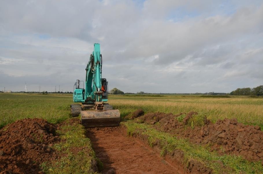
A programme of archaeological trial trenching was conducted by PCA Norwich in response to a planning condition attached to the construction of a solar farm on the site.
Thirty-five trial trenches, totalling 1750m of trenching, were excavated to test possible archaeological features identified via cropmarks, features in the landscape, and anomalies in an earlier geophysical survey. Nearby activity is well documented in the Norfolk Historical Environment Record (NHER), with many known salt-making mounds and post-medieval sea defences mapped within the vicinity of site.
The trench layout was also designed in response to specific requirements of the site, with PCA adopting a pragmatic approach to gain the best archaeological information with care to the surrounding area. PCA worked with the landowner to ensure trenches were positioned to protect access for crops.
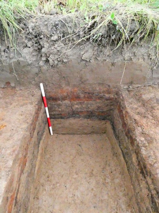
PCA’s excavations were successful in locating early medieval salt-making activity in the south-east area of the site, in the form of hearth rake-out pits and filtration tanks. These features reflected a larger area of salt making than was originally expected. Interestingly, the earlier phases of sea defences appeared to incorporate these salt mounds into the banks, as evidenced in hand dug sondage in one bank showing an interesting reuse of materials in the post-medieval period. The later south bank defences were proven to be built in the late 18th to 19th century, dated by an industrial ware mug, found within the bank material.
An assessment of marshy alluvial deposits across site has assisted in our understanding of the drainage regimes and implications for further defensive measures; the defensive banks were constructed to keep sea water out, with the later banks protecting an area of the channel that was reclaimed for agriculture following the river’s diversion.
The outcomes of these excavations are of importance to the Norfolk Mapping Programme (NMP) which has mapped the area of saltern mounds in the area extensively. The discovery of further industry beyond the known saltern mounds (made up of waste material from the filtration process) adds to understanding of this intensive industry operating throughout the medieval period.