Greenhill Road, Herne Bay
Herne Bay
Kent
United Kingdom

Map
Sorry, no records were found. Please adjust your search criteria and try again.
Sorry, unable to load the Maps API.
Description
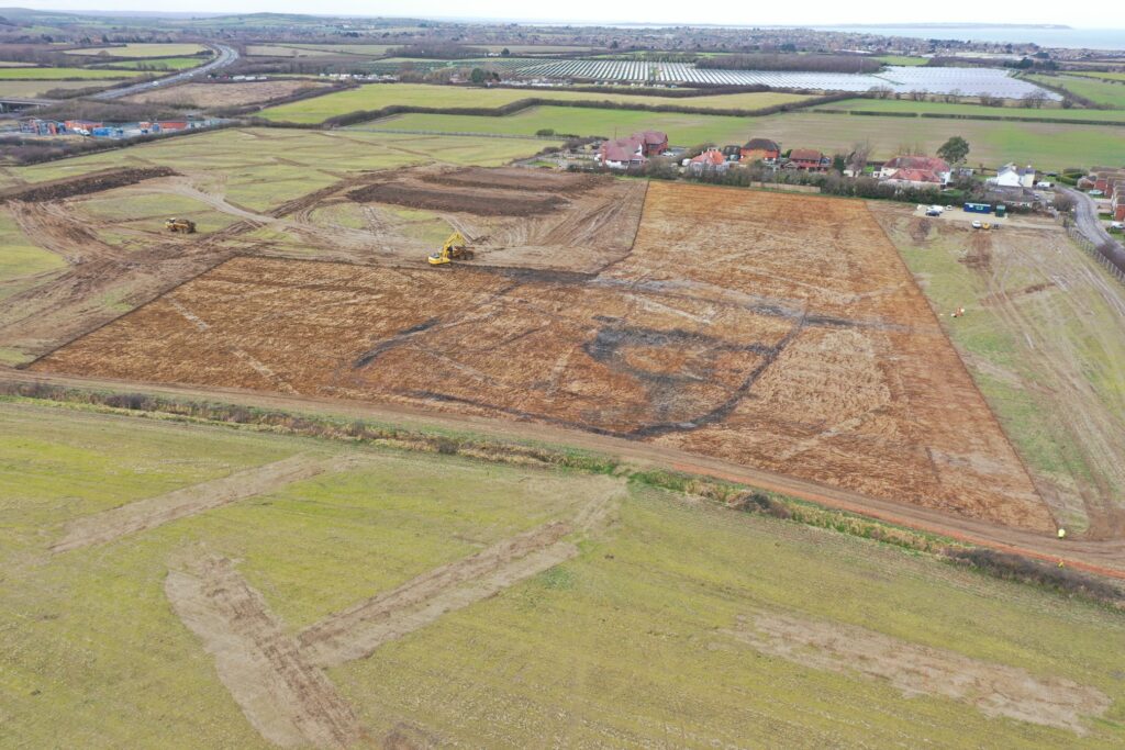
The creation of Oxenden Park involved the construction of 450 dwellings together with community facilities, a link road, pedestrian and cycle links and associated infrastructure, on agricultural land. Pre-Construct Archaeology Ltd London was commissioned to undertake an archaeological mitigation at the site in advance of construction.
An initial evaluation comprising 126 trial trenches across 17ha sought to identify areas of archaeological interest. A geomagnetic survey of the site was also undertaken to assist in identifying features. The evaluation revealed the presence of archaeological horizons within a wide date range, from the pre-Roman to post-medieval periods, and identified a significant number of well-preserved and varied prehistoric and Roman features concentrated in four main areas.
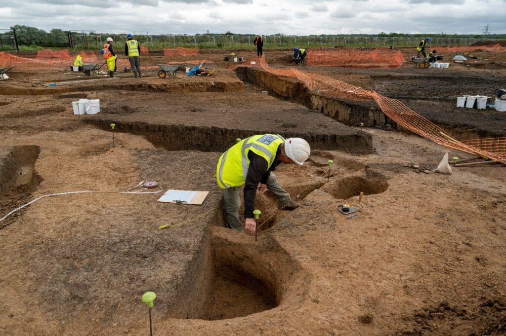
A ‘strip, map, sample’ excavation exercise followed in the north and central parts of the site ensuring that large scale archaeological landscape features could be identified and recorded as efficiently as possible. The excavation area covered approximately 4.9 hectares and revealed early Neolithic, Bronze Age Iron Age, and Romano- British features.
Excavation revealed that from the late Iron Age/early Roman period onwards, occupation became well established and continued through to the mid/late 4th century AD, especially in the form of ditch-enclosed fields.
Other features included ritual pits containing deposits of bones (including from a whale), coin hoards, and an enclosure containing a timber structure which possibly served as a shrine. A number of cremations were uncovered, dating to the Late Iron Age / Early Roman period, and building structures from the Roman period were indicative of a substantial farmstead.
The size of the site posed a challenge to efficiently identify areas of interest to be focussed on. Using a range of tactics including remote sensing and large scale trial trenching in the evaluation phase enabled PCA to home in on the areas needing further detailed work. The use of a ‘strip, map and sample’ approach in the subsequent excavation meant that large scale features could be mapped quickly and accurately and sampled but also meant that adequate dating of features was recovered, and environmental samples obtained to provide information about crops, diet and background landscape composition, without significant delay to the archaeological programme.