Holywell Priory
London
Greater London
EC2A 3AA
United Kingdom
Map
Sorry, no records were found. Please adjust your search criteria and try again.
Sorry, unable to load the Maps API.
Description
Pre-Construct Archaeology Ltd London has undertaken a series of archaeological investigations at the site, prior to the commencement of commercial development along Shoreditch High Street. Because of the historic nature of the site, planning conditions required archaeological investigations to identify archaeological features of importance and inform design plans so as to avoid impacting undisturbed remains as far as possible.
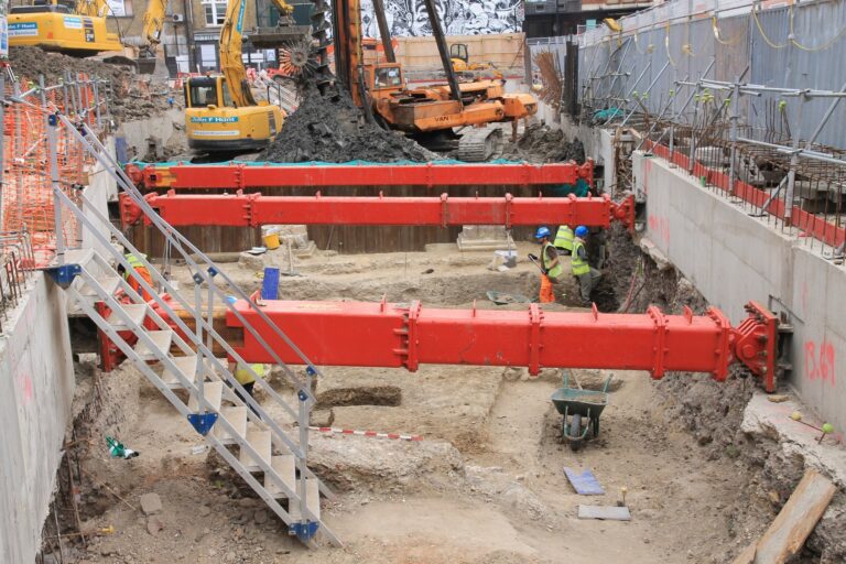
Holywell Priory originally covered around 8 acres and was constructed between 1152 and 1158. It followed the Rule of Augustinian Canonesses and around 12 nuns would have resided in the complex, along with novices and priests, and lay servants. The Priory was dissolved in 1539 and its land and buildings sold off. In the following centuries the area became increasingly urban in character and by the 19th century it had been largely built over, with a railway viaduct constructed on the site in the early 1860s. This was demolished and a new viaduct built across the site in 2005 for the London Overground line. The proximity of the excavations to the railway line necessitated a complex and bespoke arrangement of shoring. The excavation area was positioned within the footprint of the proposed basement, and was delineated by a combination of secant and sheet piling. The pile wall was positioned to avoid the south wall of the priory church, and provided a clear and stable perimeter to the excavation area, allowing full excavation of all archaeological deposits within the basement footprint with no need for stepping, battering or other trench support. The insertion of the piles themselves caused only very localised disturbance to the archaeological horizon.
The earliest archaeological deposits dated to the prehistoric period including a Bronze Age ditch.
Roman activity included a large boundary ditch and ten burials, presumably part of a larger cemetery. In the 4th century the land use changed to a more agricultural focus.
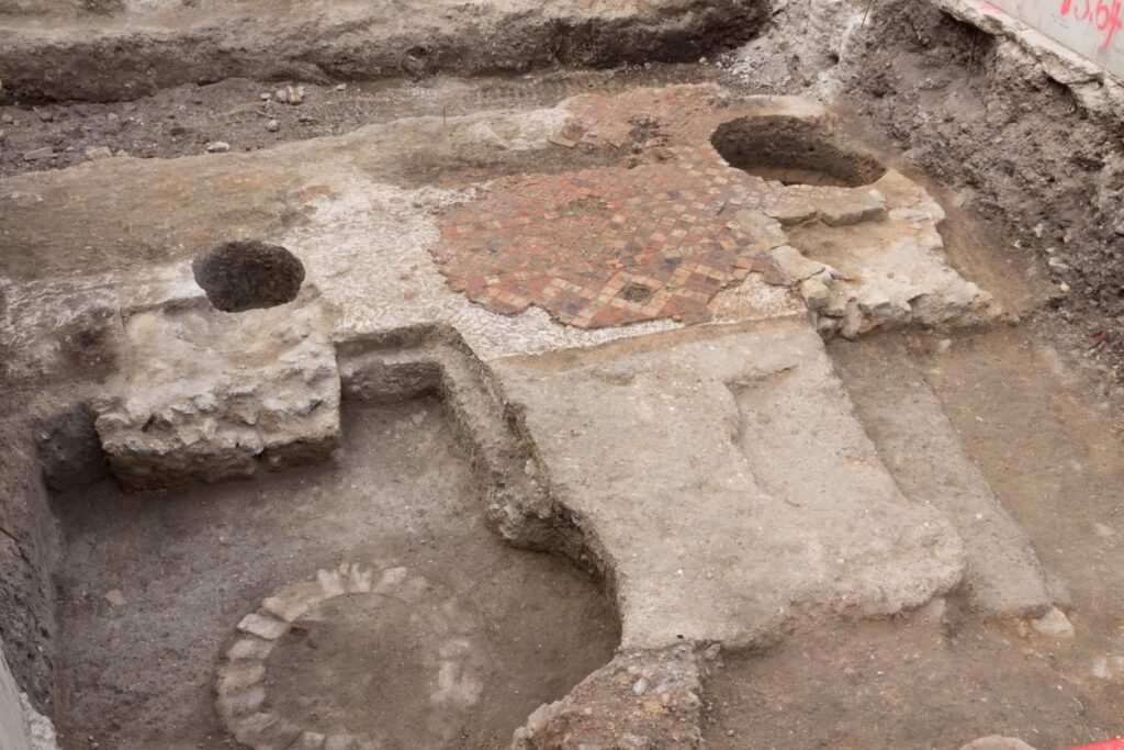
The remains of the medieval priory church included the foundation for the south transept and the south wall of the nave.
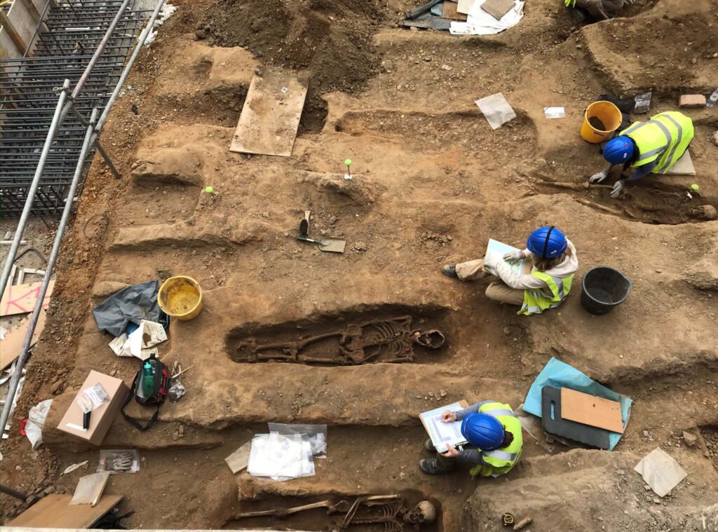
Abutting the church wall was a boundary wall defining the inner precinct of the nunnery and the outer precinct. Six burials were located within the transept. The main cemetery containing over 200 burials was located to the east of the south transept and continued to be in use throughout the medieval period.
After the priory was dissolved in 1539 all the cells / chapels were demolished along with a large part of the south transept. The south wall was retained and incorporated as part of a new house which replaced the priory church. The house continued in use during the late 16th century and included a large formal garden.
By the 17th century the Tudor house was demolished and two distinct open areas were developed along with property boundaries dividing up the site. Various types of rubbish pits, timber-lined wells and soakaways were present either side of the retained north-south boundary wall. These two open areas continue to develop in the 18th and early 19th century with evidence of yard surfaces, gravel paths along with brick-lined cess pits and wells. This activity is thought to be at the back of terrace houses properties fronting onto the surrounding streets.
Public outreach from the excavations consisted of articles in popular archaeological magazines and public lectures, as well as more formal reports published in academic journals and a forthcoming PCA Monograph.