Land to the west of Spalding
Spalding
Lincolnshire
PE11
United Kingdom
Map
Sorry, no records were found. Please adjust your search criteria and try again.
Sorry, unable to load the Maps API.
Description
Pre-Construct Archaeology Ltd Newark were commissioned to undertake an archaeological evaluation along two areas within the route of the Spalding Western Relief Road, the results of which contributed to an Environmental Impact Assessment for the road scheme. This had been preceded by a Desk-Based Assessment and Geophysical Survey. The fieldwork followed a methodology set out and agreed in the Written Scheme of Investigation and approved by the local authority.
The route of the road scheme extended on generally flat land from Spalding Common to the north of South Drove Drain. One area of trenching totaled 1.3km in length, covering an area of 10ha and was bisected by the Peterborough to Lincoln Railway line; the second area of trenching totaled 1km in length and covered an area of 11ha; it straddled the same railway,
As part of the Risk Assessment and Method Statement, exclusion zones were established astride the railway lines, along and either side of mains gas pipelines, and beneath live overhead power lines.
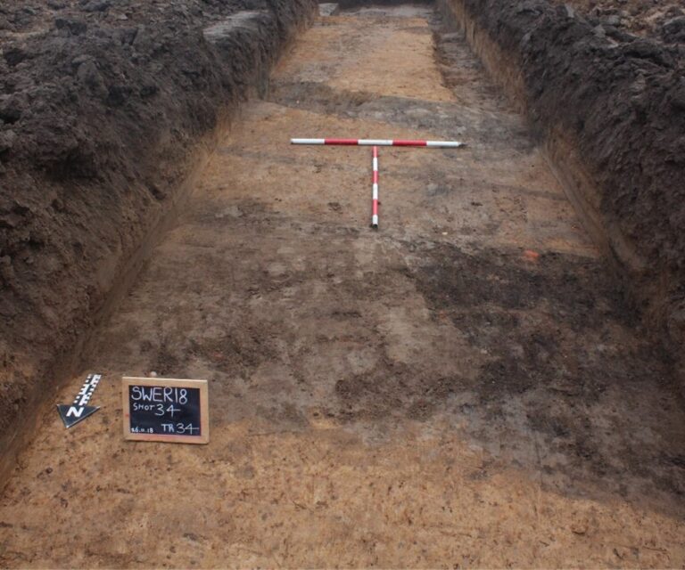
The evaluation comprised the mechanical excavation of sixty-five 50m trenches, a total of 3250 linear metres, in order to provide a representative sample of the development area and targeted to investigate anomalies from the geophysical survey results and apparent ‘blank’ areas between them. The site was divided up into sections in order for this to be managed systematically.
The main objective of the evaluation was to assess and report on the potential for the survival of any archaeological remains along the proposed route and to test the effectiveness of the previous geophysical survey technique. This was achieved through initial identification of features in the ground, sample excavation where necessary to determine location, extent, date, character and state of preservation, and ultimately to inform LCCPA on the archaeological resource in order for them to determine the nature and extent of any mitigation work that may be required. This included an assessment of the significance of the results in view of current local, regional and national research agendas as referenced in the WSI.
The evaluation revealed a number of ditches below the ploughsoil that were probably the remains of post-medieval/modern field boundaries and drainage ditches.
One section also revealed a well-defined area of Roman and medieval archaeological remains toward the northeast end, possibly related to the Roman road from Spalding to Pinchbeck on the higher ground. These remains comprised intercutting ditches of Roman date with evidence for a buried soil land horizon, all sealed by later flood deposits. The medieval remains were largely of an agricultural nature, possibly the remains of ‘dylings’, a common form of field system found in the Fens.
At the time of writing, work on the road is still progressing.
