Land west of Church Lane, Londonthorpe
Grantham
England
NG32 3LS
United Kingdom
Map
Sorry, no records were found. Please adjust your search criteria and try again.
Sorry, unable to load the Maps API.
Description
Welby is located c. 6.5km northwest of Grantham in the administration of South Kesteven District Council, Lincolnshire. The investigation site lay about 1.5km southeast of Londonthorpe and 1.5km southwest of Welby.
The site was the subject of a Planning Application submitted to South Kesteven District Council requesting an Environmental Impact Assessment Screening for the installation and operation of a solar farm with associated infrastructure. The Archaeological Advisor to South Kesteven District Council advised that trial trenching should be carried out so that the results could inform the planning decision and whether there would be a requirement for further mitigation work. Pre-Construct Archaeology Ltd Newark was commissioned to undertake the archaeological evaluation.
The archaeological works were carried out in accordance with a Written Scheme of Investigation (WSI) prepared by PCA Newark which noted constraints at the site including two overhead power cables. Measures put in place to avoid contact with the cables included buffer zones around them and guardian ‘goalposts’ put in place at specified passing points for plant.
The archaeological works sought to determine the location, date, extent, character, condition and quality of any archaeological remains on the site, to assess the significance of any such remains in a local, regional, or national context, as appropriate, and to assess the potential impact of the development proposals on the site’s archaeology.
The site was in an area of known archaeological potential including cropmarks of prehistoric date, including a possible settlement, and a Roman road and a villa to the west and southeast of the site respectively. A geophysical survey at the site revealed an enclosure of Iron Age or Roman date and possible prehistoric boundary ditches and trackways as well as traces of ridge and furrow.
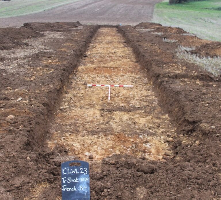
Following the methodology set out in the agreed WSI, 95 30m x 1.8m trenches were mechanically excavated under constant archaeological supervision to the horizon with the natural geological substratum or the level of any archaeological features, whichever was reached first. Any features of archaeological significance were sample excavated by hand and recorded. The results of the work were compiled within an Evaluation Report.
Archaeological features were present in 12 of the trenches and these represented the remains of Iron Age to Roman date as well as undated phases of activity. Recorded features included a ditch terminus and an isolated pit in the centre of the site that contained small amounts of Iron Age pottery. Small quantities of fired clay, animal bone, charred cereal grains and a charred hazel nutshell were also recovered and are indicative of a settlement in the wider area around the site. The enclosure ditch detected on the geophysical survey in the northwest of the site was identified in three of the trenches and small quantities of iron smithing slag from the enclosure attested to metal working in the area.
No further fieldwork or reporting was required at that stage.
