Manor Road, Canning Town
Newham
Greater London
United Kingdom
Map
Sorry, no records were found. Please adjust your search criteria and try again.
Sorry, unable to load the Maps API.
Description
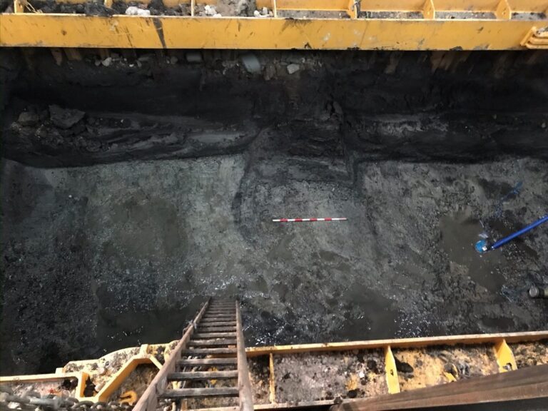
PCA London has undertaken two phases of evaluation at Manor Road site which is located c. 100m northeast of the present channel of the River Lea. An earlier geoarchaeological assessment confirmed that the entire site overlies both an elevated gravel island as well as of one or more palaeochannels.
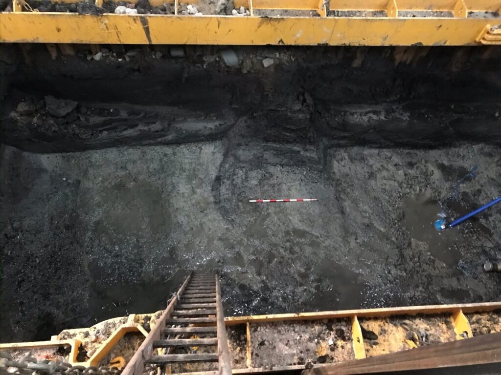
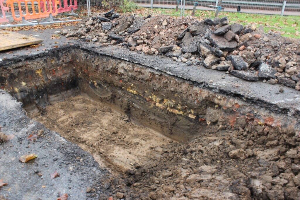
The first investigation in 2020 consisted of four shored evaluation trenches between 3.5m and 4.6m deep which were intended to target the footprints of the proposed buildings and the areas of highest gravels and to determine the presence or absence of prehistoric channel edge. Natural sandy gravel deposits demonstrated a natural fall from a relatively flat area of gravel to the edge of a palaeochannel at the western side of the site. A sequence of alluvial deposits and peat were encountered above the gravels which were thicker than expected, suggesting localised areas of a wet marshy woodland environment but with no evidence of human activity. No archaeological finds or features were encountered.
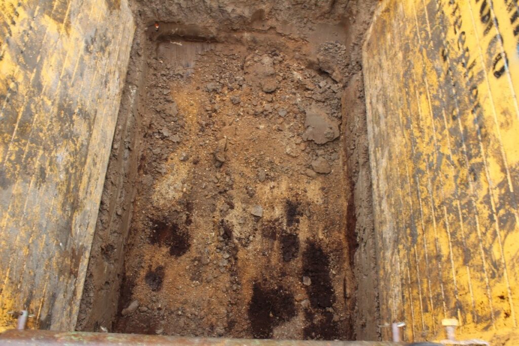
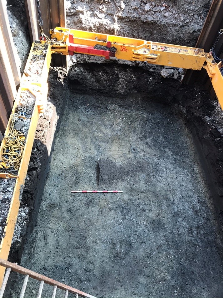
The 2023 evaluation comprised three trenches excavated to depths between 2.76m – 3.40m, which necessitated the use of trench boxes.
The earliest deposits encountered were consistent with the Shepperton Gravels and were noted in all three trenches. The gravels were sealed by thin interface layers, that may represent the former land surfaces which were observed below a thick layer of alluvial clay. Deposits dating from the 19th century to modern period, sealed the trenches.
On completion of each phase of work evaluation reports were produced detailing the investigations and the results they produced and further work was not deemed necessary.