Manor Way, Halesowen
Halesowen
West Midlands
B62 8QZ
United Kingdom

Map
Sorry, no records were found. Please adjust your search criteria and try again.
Sorry, unable to load the Maps API.
Description
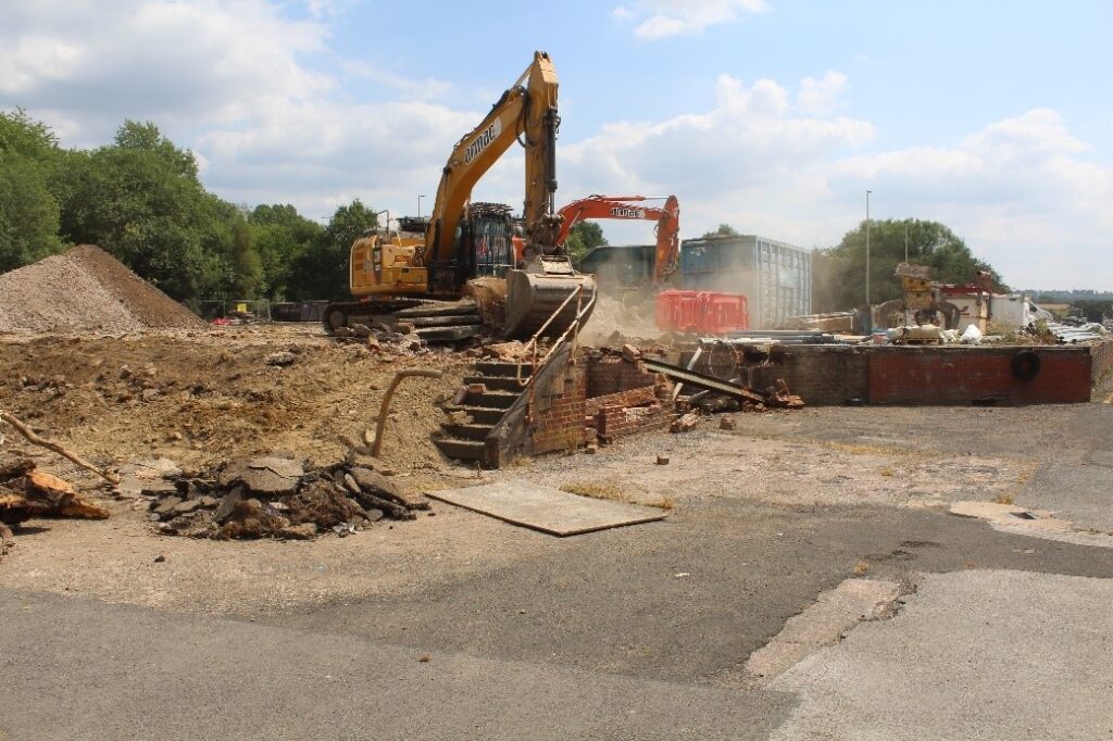
PCA Warwick was commissioned to monitor and record the demolition, site clearance and the excavations at foundations of the former Sanvik Ltd. engineering works, as part of the planning consent required for the redevelopment of the site by Dudley Metropolitan Council. The redevelopment of these works was to accommodate new company head offices and a showroom facility, with associated access, car parking and landscaping.
The development area lies to the north of the ‘Illey and Lapal Area of High Historic Landscape Value’ and the Scheduled Monument of Halesowen Abbey which contains the Grade I listed ruins of St. Mary’s Abbey ruins, the latter being largely 13th century in date. The Dudley No. 2 Canal, constructed in 1798, lay immediately adjacent to the subject site. This is now backfilled and used as a footpath and for other leisure purposes, but holdis the potential for details relating to its construction and use. PCA’s background research assessed the historical character of the site to be largely agricultural land between the abbey precinct and the location of the medieval settlement of Halesowen to the north; it was noted that the canal occupied an elevated position up to 5m above the site on a former natural slope that had been landscaped during the canal works. The archaeological potential of the site was correspondingly low. However, given the importance of the potential heritage assets, the Local Planning Authority (LPA) requested that all subsurface works be monitored and recorded to ensure any archaeology, if present, was appropriately dealt with.
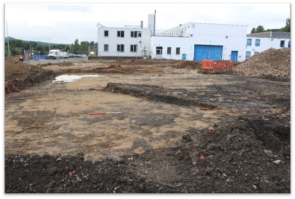
PCA staff worked closely alongside contractors during above ground demolition of standing structures, the removal of concrete and tarmacadam surfaces and ground reduction across the site. Structural engineering test pits and the final foundation pits were also observed and recorded.
Natural geological horizons were identified across the site with the exception of an area where a possible medieval or post-medieval agricultural subsoil was identified . This deposit lay beyond the footprint of the new building would not be impacted by the redevelopment works and thus was not further investigated. No other significant archaeological features or deposits were identified during the monitoring and a short report was produced on the findings to satisfy planning conditions.