Mayridge Farm, West Berkshire
Englefield
Berkshire
RG7 5JT
United Kingdom
Map
Sorry, no records were found. Please adjust your search criteria and try again.
Sorry, unable to load the Maps API.
Description
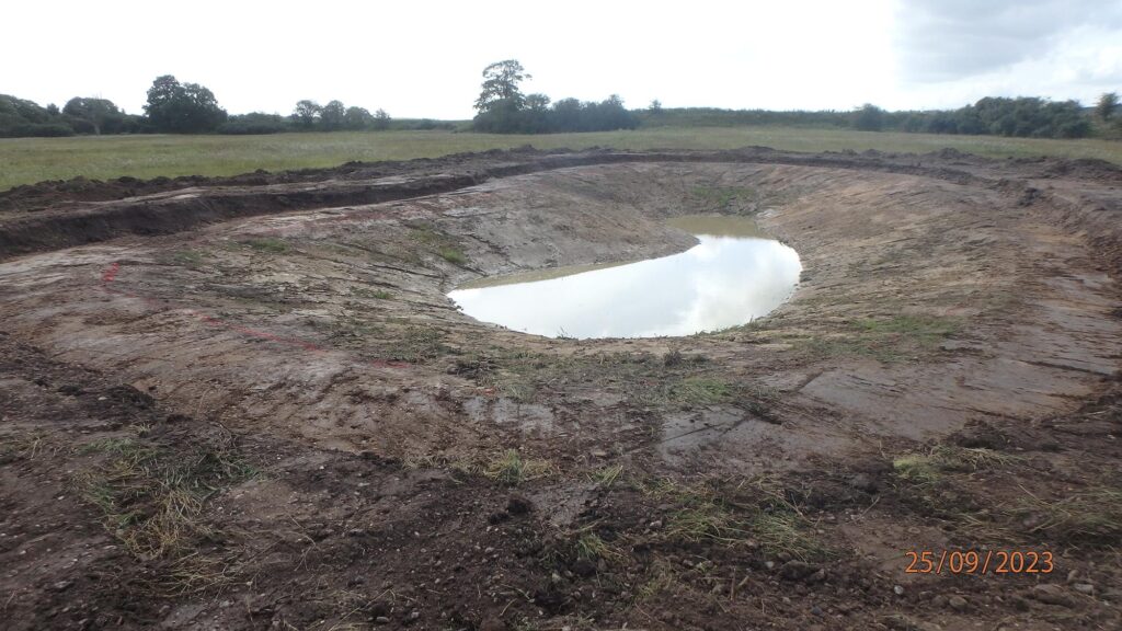
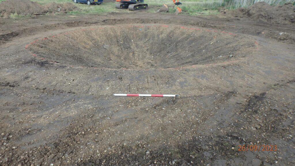
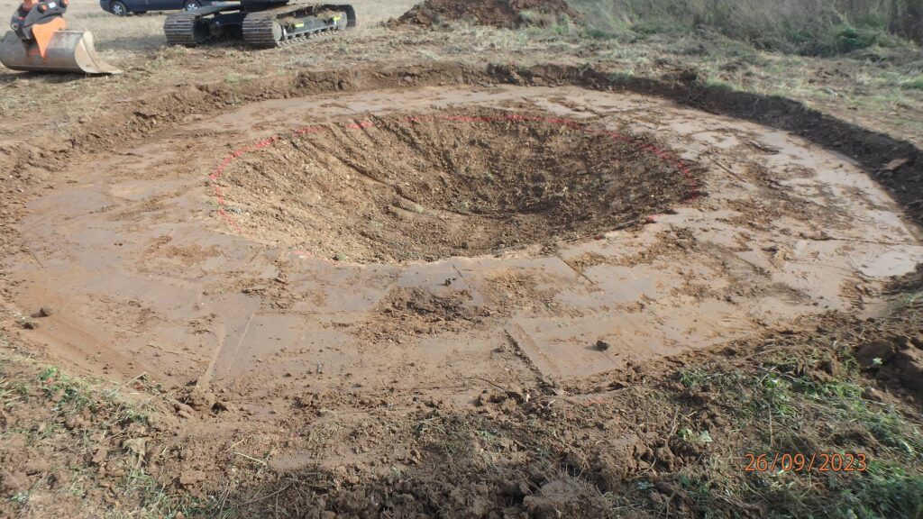
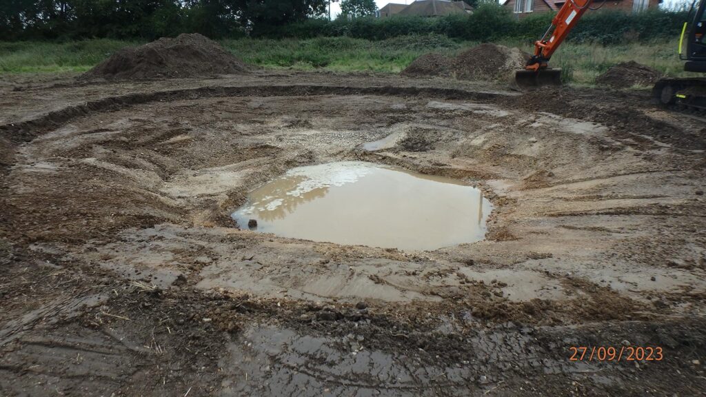
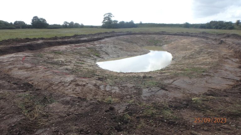
PCA Winchester was commissioned to carry out a program of archaeological work which included a metal detector survey and a watching brief (monitoring and recording) at Mayridge Farm. The watching brief consisted of the monitoring of the excavation of five wildlife ponds and formed a condition of planning consent granted by West Berkshire Council. The archaeological work required by the local planning authority was secured by a condition of planning consent and was intended to ensure that the potential impact of creating the ponds on any archaeological remains could be offset by a suitable mitigation strategy. The site comprises farmland forming part of the Englefield Estate south-west of Theale.
The metal detector survey recovered no metal finds other than of modern date.
The archaeological monitoring did not identify any archaeological deposits. The topsoil was recorded as extending to a depth of 0.25m BGL which directly overlayed the natural deposits except at Pond 2 which was excavated to a depth of 1.71m and no natural deposits were recorded.
The program of work was concluded, and the Englefield Estate was able to carry on with the creation of the wildlife ponds efficiently. The results were reported on in line with planning regulations.