Nottingham Forest Football Club
Nottingham
Nottinghamshire
NG2 5FJ
United Kingdom
Map
Sorry, no records were found. Please adjust your search criteria and try again.
Sorry, unable to load the Maps API.
Description
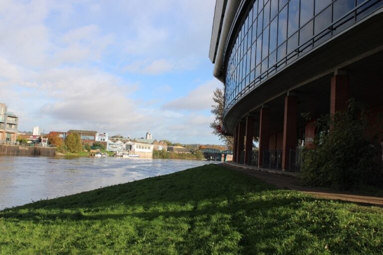
Pre-Construct Archaeology Newark were initially appointed to undertake a Desk Based Assessment (DBA) to assess impacts on the archaeological resource by construction of two infill structures at the Brian Clough and Peter Taylor corners of the City Ground Stadium. This DBA concluded that the City Ground, home to Nottingham Forest Football Club since 1898, was located in an area of archaeological and geoarchaeological significance.
The football ground is located on the River Trent floodplain, immediately adjacent to the present course of the river. Previous archaeological investigations on floodplain sites have revealed significant evidence for some of the earliest human activity in Britain from before the last Ice Age and study of them and the artefacts they yield can inform upon early migration routes into and within the country.
Numerous items of Bronze Age metalwork have been recovered from the Trent and its floodplain, a pattern of deposition reflected along other rivers. Several concentrations of such finds have been identified at locations such as Clifton, to the southwest of the City Ground.
Close to the present Trent Bridge, just south of the football ground, was the site of the ‘Heathebethe’ bridge, constructed of timber in the early 10th century AD. Pointed wooden stakes, some with iron casings, have been observed in the south bank of the river a short distance south of the present bridge.
The archaeological curator for Rushcliffe Borough Council, on the basis of the findings of the DBA, recommended a watching brief on groundworks by a qualified geoarchaeologist. The lack of well-dated early paleoenvironmental sequences from Nottingham particularly from the early prehistoric period meant the results of the work would have to potential to inform a greater understanding of early climate change and landscape development in the region. There was further potential to inform upon the role that the river had in the movement of goods and people and what the environmental remains can tell us about diets and living conditions in urban communities.
PCA Newark employed a specialist geoarchaeologist to undertake the monitoring of 14 vacuum excavated trial pits and six pile locations across the two areas of impact. However, due to the proximity of the river to the site and the resulting water table pressure, the bottom of the test pit quickly filled with water and eroded the sides, causing collapse, which led to difficulties in recording the strata.
The results showed that the upper alluvial sequences in each trial pit were likely deposited during the Holocene period when the River Trent likely flowed over the location before migrating toward its current course. The report of the findings suggested that although the construction of the existing ground had limited impact upon the alluvial sequence, they remained present and intact at a depth of approximately 2.3m below contemporary ground levels.
