Riverside Energy Park, Bexley
Bexley
Greater London
DA17 6JY
United Kingdom
Map
Sorry, no records were found. Please adjust your search criteria and try again.
Sorry, unable to load the Maps API.
Description
The Riverside Energy Park site was located on the Thames floodplain forming part of the Erith Marshes. The site falls within the Archaeological Priority Area for Thameside and Mesolithic, Neolithic and Bronze Age occupation has been found associated with localised high areas of gravels, with environmental data sealed in wetland deposits.
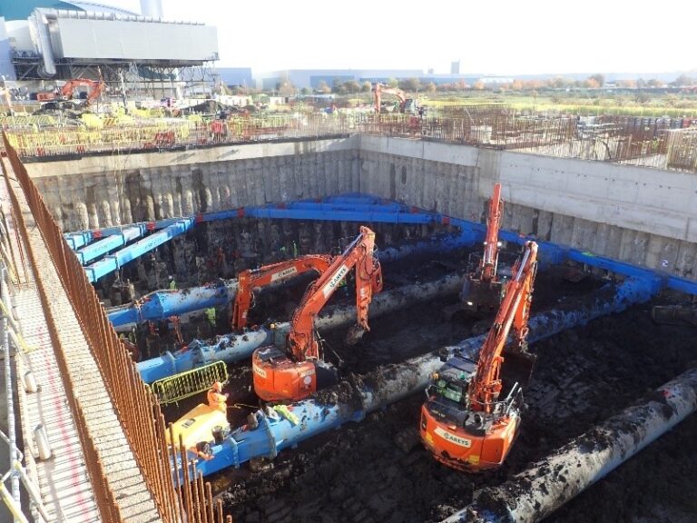
Pre-Construct Archaeology London undertook a geoarchaeological watching brief on three separate areas of the redevelopment: the Ash Bunker, the Waste Bunker and the Attenuation Tank, and monitored the ground reduction within these areas.
A number of geoarchaeological investigations had previously taken place within the vicinity of the site, including analysis of the geoarchaeological sequence at the nearby Borex Works site in 2008 in advance of the existing Riverside Resource Recovery Facility.
The analysis recorded the formation of peat and fen woodland which represented periods of stable conditions in the Mesolithic period and subsequent periods of flooding and stabilisation in the Late Mesolithic and Bronze Age. Woodland flora and fauna was characterised through bio-stratigraphic analysis, including for example the colonisation and decline of yew elm and lime woodland.
Human exploitation of the wetland woodland is evidenced by the recovery of dung beetles which would have fed on the dung of large, domesticated animals, such as cattle, sheep and horses. No early prehistoric cultural material was recovered during the geoarchaeological works or evaluation.
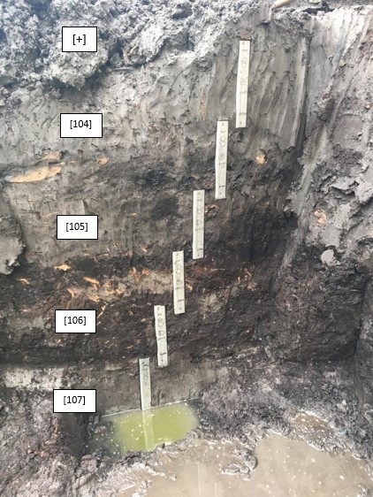
The alluvial sequence was identified through a series of earlier boreholes and test pits on the site and the watching brief confirmed the sequence of Shepperton Gravels having been overlain by the Lower Alluvium, which in turn was overlain by peat beds and the Upper Alluvium. This latter layer had been truncated – and sealed by – 3m thick modern made ground.
Sections were recorded in the Ash Bunker and a series of column samples were taken in the Waste Bunker through the alluvial sequence from Upper Alluvium to Lower Alluvium. A further column was taken through a raised bed of peat in the Attenuation Tank which may have represented a localised pool or channel in the Upper Alluvium.