St Ann’s Hospital, Haringey
Tottenham, Haringey
Greater London
N15 3TH
United Kingdom
Map
Sorry, no records were found. Please adjust your search criteria and try again.
Sorry, unable to load the Maps API.
Description
The project involved the redevelopment of a former hospital site which originated in 1892 as the Northeast London Fever Hospital and expanded significantly between 1897 and 1907 with series of permanent ward buildings and covered walkways, still extant across the site.
The site occupied a plot of land covering approximately 7.9ha which was located to the west of the refurbished and functioning St Ann’s hospital. The development included the change of use, the conversion and alteration of seven existing hospital buildings for non-residential uses and the demolition of other buildings and the erection of residential buildings.
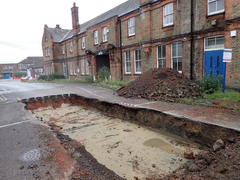
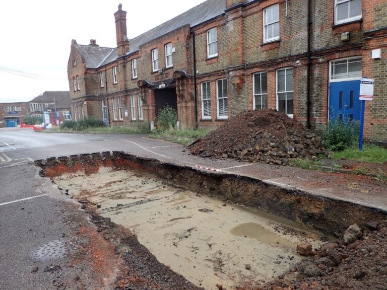
Pre-Construct Archaeology Limited (PCA) was commissioned to undertake the evaluation, which consisted of fourteen trenches, measuring at least 10m x 1.8m x up to 1.20m deep, positioned to provide broad coverage across the site and to assess the presence or absence of archaeological remains within the footprint of the proposed redevelopment.
All trenches were set out using GNSS Geomax survey equipment to ensure they were positioned according to pre-determined Setout data stipulated in the Written Scheme of Investigation; the locations of four were slightly altered from to avoid tree protection fencing and live drainage services.
Contaminants present on site, predominantly located in the underlying made ground, included lead, arsenic, PAH compounds and asbestos which required staff to wear specialist PPE such as face fitted FFP3 masks. All trenches were scanned with a cable avoidance tool prior to breaking ground, to ensure that no live services could be damaged.
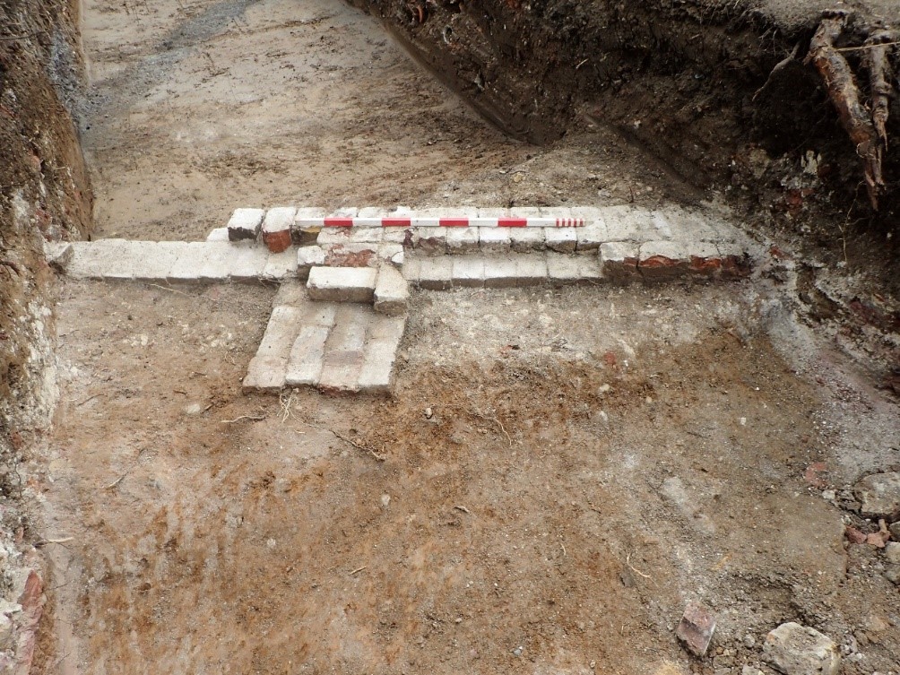
Three trenches were located to target buildings predating St Ann’s hospital depicted on the First Edition 1864 Ordnance Survey and the fieldwork was partially successful in uncovering brick masonry remains most likely pertaining to these. The bricks of these structures are broadly dated to 1666–1850 and therefore almost certainly relate to two buildings shown on the 1844 Tithe map of Tottenham, which included farm buildings.
The evaluation report which was produced at the end of the fieldwork concluded that there was an absence of any remains pre-dating the mid-eighteenth century and this informed a decision made by the local planning authority, that no further archaeological work would be required at the site and the archaeological planning condition was fulfilled.