University of Winchester
Winchester
Hampshire
SO22 4NR
United Kingdom
Map
Sorry, no records were found. Please adjust your search criteria and try again.
Sorry, unable to load the Maps API.
Description
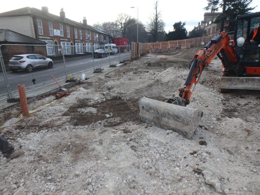
PCA Winchester was commissioned to undertake an archaeological watching brief on land at West Downs Campus, Winchester located immediately to the north of Romsey Road and adjacent to current university buildings. The proposed new building will be constructed within an open area to the south of the university halls of residence.
The watching brief formed the final part of a staged approach to addressing the archaeological implications of the development and was informed by the results of an archaeological Desk-based Assessment and ground penetrating radar survey (GPR).
The proposed development, a new university building comprising an auditorium, teaching accommodation, library, dining, and associated accommodation arranged over five storeys. The watching brief and the report were required as part of the conditions of planning permission, based on the advice of the Council’s Historic Environment Team Archaeologist and reflected the potential of the site to contain archaeological resources that could be put at risk by the development.
The site lies west of the historic centre of the city of Winchester, immediately north of the projected course of the Roman road between Winchester and Old Sarum. A nearby archaeological watching brief to the west of the site identified a series of recut ditches flanking the north side of the Roman road. As such there was potential for Roman remains associated with the road to Old Sarum within the south-eastern and southern parts of the site.
The GPR survey recovered data showing sub-surface linear features that are likely to pre-date West Downs School, namely two field drains and a possible field boundary. Most other sub-surface features date from the last three decades (1990–2016) and comprise service trenches, hard standing for temporary classrooms and tarmac surfaces. A 2m-deep cut and fill feature in the extreme south-west of the study area most probably dates from the 1930–1950s, but it is possible that the cut could be for the Roman road.
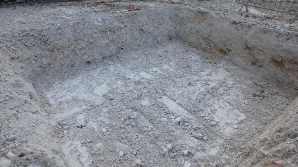
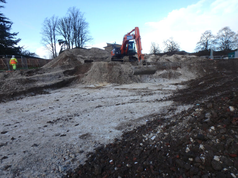
The result of the watching brief was that no significant archaeology was identified during this programme of works. The site appeared to have been landscaped during the late post-medieval period. The presence of 19th-century material lying directly on top of natural deposits indicates that any post-medieval landscaping of the site was extensive, removing any earlier deposits. This suggests that any in situ archaeological features or deposits were destroyed at this time. A report was produced to satisfy planning conditions.