Woodside Way
Great Dunmow
Essex
United Kingdom

Map
Sorry, no records were found. Please adjust your search criteria and try again.
Sorry, unable to load the Maps API.
Description
PCA Cambridge was commissioned to partake in archaeological investigations near the small town of Great Dunmow, located 13km to the west of Braintree, the excavations being required to discharge a planning condition, prior to the construction of up to 790 homes, primary school, community buildings, sports fields, allotments, and associated infrastructure.
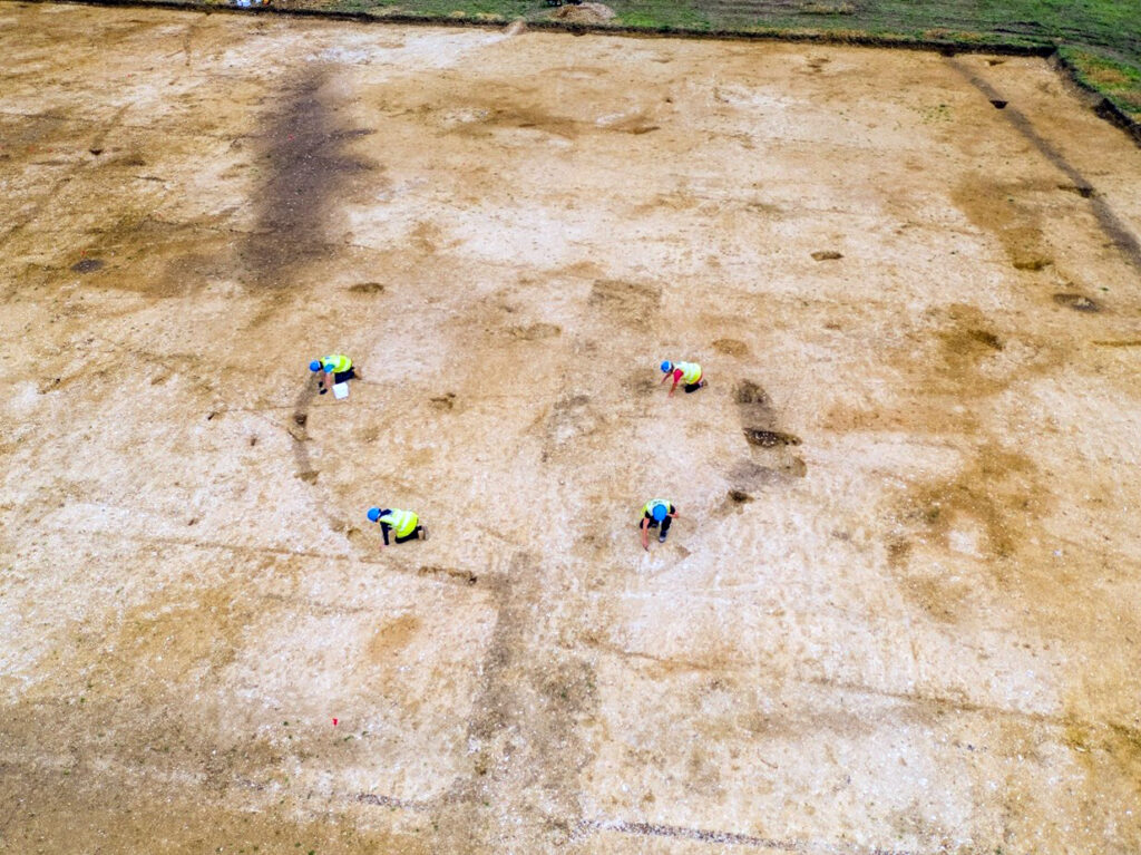
Located across an area measuring 54.7ha covering five arable fields, the site was bounded to the south by Stortford Road, the route of historic Stane Street (a Roman road that linked Camulodunum (Colchester) with Ermine Street, which linked London with Lincoln during the Roman period, to the west.
Archaeological excavations were conducted across ten areas, revealing activity spanning the Mesolithic, Bronze Age, Iron Age, Roman, Medieval, and post-Medieval periods.
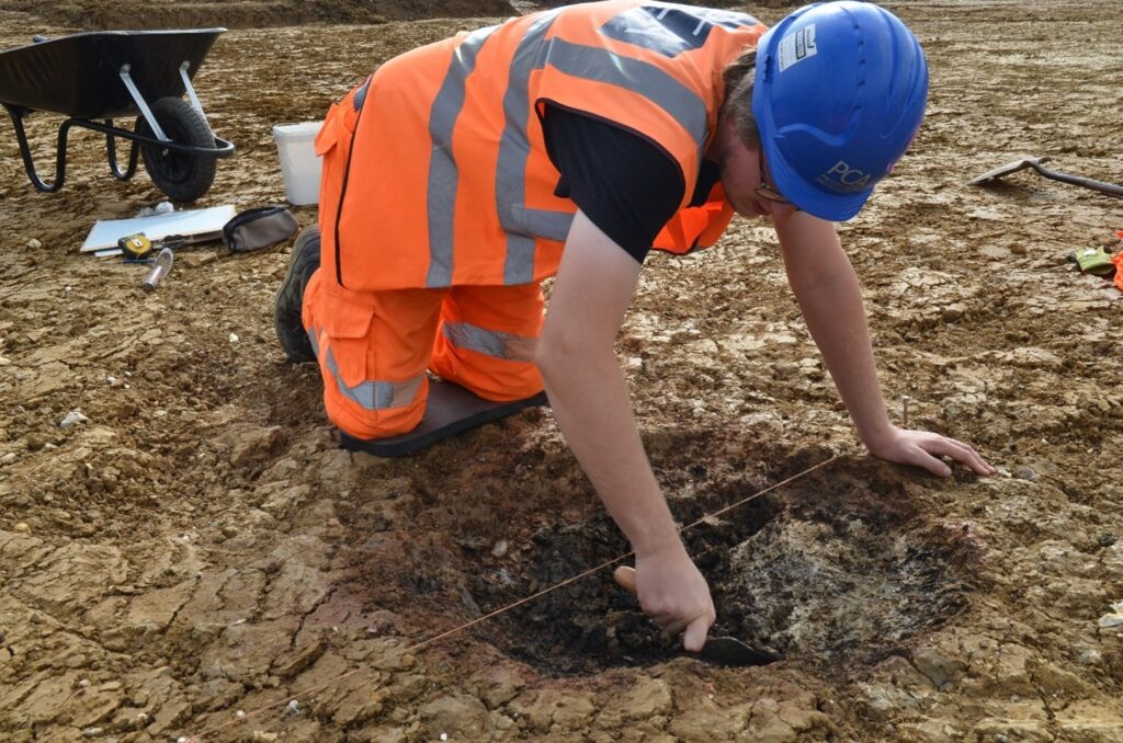
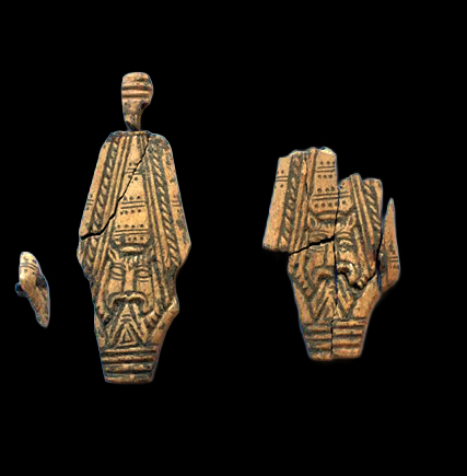
Mesolithic evidence included a large patinated blade that was later re-modelled into a notched tool (most likely during the Late Bronze Age), as were other smaller blades. Middle and Late Bronze Age settlement activity including a post-built roundhouse, four-post structures, an enclosure system and pits associated with occupation.
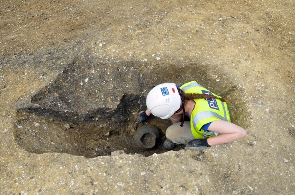
Activity dated to the Iron Age was identified across all areas of the site, with a Middle Iron Age settlement enclosure and associated features that continued into the Late Iron Age being and a non-enclosed roundhouse was recorded elsewhere on the site. Other features from this period comprised cultivation channels, boundary ditches, enclosures, ovens, storage pits, four-post structures, one cremation-related pit and scattered pits, probably forming part of settlement-related working areas.
Roman activity across the site was far sparser than the Iron Age activity that predated it; even though Roman occupation in and around Great Dunmow is well known , limited evidence of agricultural activity dating to the period was observed during the excavations.
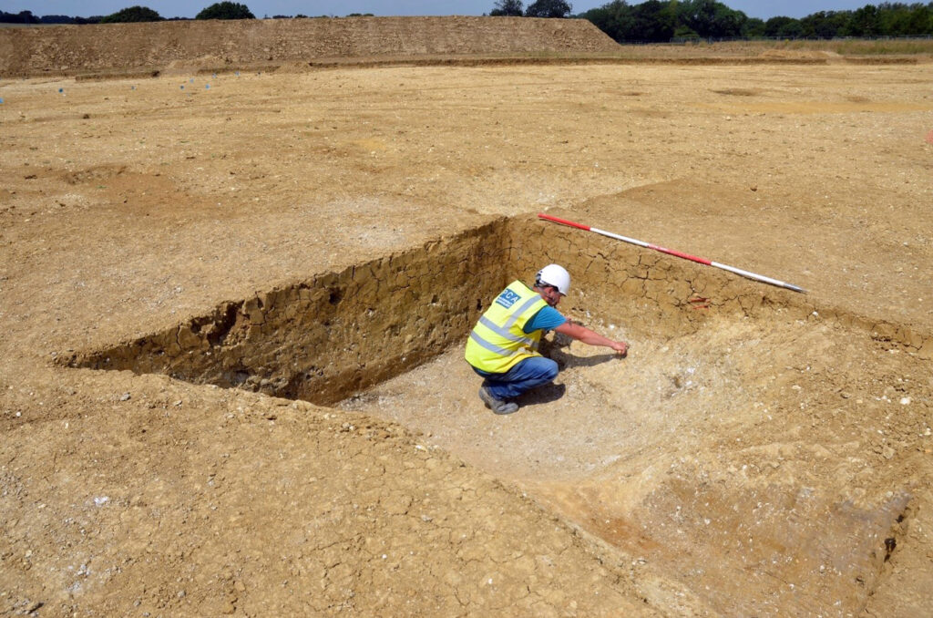
The most abundant period of archaeological activity on the site was Medieval, with High Medieval (12th-14th centuries), well-established medieval agricultural landscapes, formed following forest clearance and the founding of small communities observed. Settlements, working areas (including ovens), quarrying, agricultural and pastoral activities (such as watering holes and paddocks) and metalworking were all observed across the site, dating to this period. Post-dating these were two post-Medieval dated boundaries, observed within the north of the site with minimal non-agricultural activity occurring there until the present day.
Further study and research are being conducted to inform a further publication of the findings from the site. Additional investigations into the pottery, metalworking and radiocarbon sampling of human remains, ovens, roundhouses, structures, as well as rubbish and storage pits will all provide further information for comparing the site to other High Medieval sites located within the region of Woodside Way, Great Dunmow.